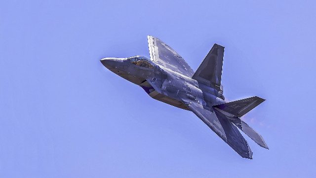
Chang Guang, a Chinese commercial aviation company, recently shared a short video claiming to show a satellite tracking a US F-22 Raptor fighter jet. According to Clash Report on X, the footage is from 2020. The surveillance was reportedly done using the Jilin-1 commercial remote control satellite system.
However, the video is surprisingly short – just six seconds of the satellite system’s cameras tracking the plane. Chang Guang identified the aircraft as an American F-22 Raptor stealth fighter jet that was flying through partly cloudy skies. This leaves us with several questions: Is it really an F-22? Has the video been edited? Was the Jilin-1 satellite system actually used for this surveillance? And most interestingly, why release only six seconds?
Sightings of F-22s via video footage are not uncommon. Stealth technology makes the F-22 almost invisible to radar, but not to the naked eye. If the satellite can continuously track the flight beyond those six seconds, it underscores the formidable future combat capabilities. While ground-based radars could miss the plane’s signature, satellites could potentially pick it up, as the video suggests.
Satellites and radars together
If the reports that Chinese satellites tracked the F-22 flight are confirmed, it raises an important debate about combat capabilities. Let’s clear up a common misconception – stealth aircraft are not completely invisible to radar.
The correct terminology here is “low observability.” This means that detecting the aircraft is more difficult, but not impossible. For example, the F-22 has a radar signature comparable to a small metal pebble, which translates to roughly 0.0001 m² of radar cross section. [RCS]. For context, this is approximately 100,000 times less than the RCS of a typical fighter, making the F-22 detectable at only 1/17.5 the distance a standard fighter would be. However, keep in mind that this detection ability varies significantly depending on the angle from which the aircraft is viewed.

So even though its radar signature is minimal, it is still present. This means that tracking a known stealth aircraft is entirely feasible. Therefore, reports of stealth flight tracking satellites suggest that orbital technology may be directly linked to ground stations. This approach allows radars to focus on a specific sector, range or angle to identify the precise signature of a stealth aircraft.
This scenario assumes optimal conditions, i.e “clear sky” where the radar and satellite hunt for a specific target without interference. However, in a war zone crowded with missiles, planes and drones, the situation becomes much more complicated, especially in the heart of the battle.
Remote Jilin-1

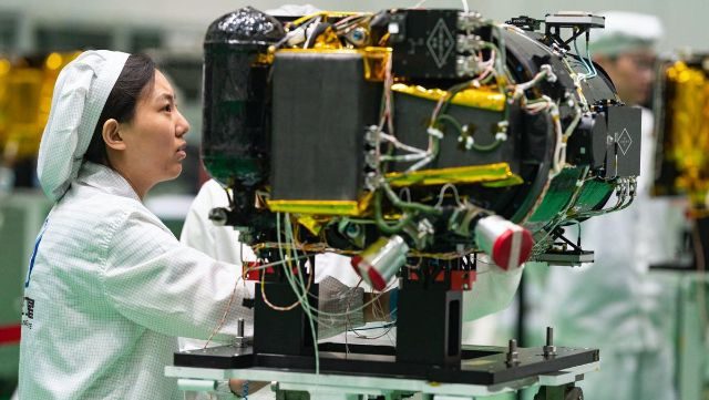
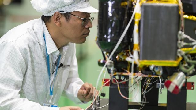
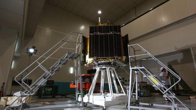
China’s Jilin-1 satellite system is a constellation of commercial remote sensing satellites developed by Chang Guang Satellite Technology Co., Ltd. [CGSTL]. Named after Jilin Province, where the company is based, it is China’s first self-developed commercial satellite remote sensing system.
The primary purpose of the Jilin-1 satellite system is to provide high-resolution imagery and video for a variety of applications, including environmental monitoring, urban planning, agriculture, forestry, resource management, and disaster response. The goal of the system is to provide timely and accurate data to support both government and commercial needs.
The Jilin-1 constellation consists of several types of satellites, including optical satellites, video satellites, and hyperspectral satellites. These different types of satellites allow the system to capture a wide variety of data, from high-definition video to detailed spectral information that can be used for a variety of analytical purposes.

One of the key features of the Jilin-1 satellite system is its high revisit frequency. The constellation is designed to provide frequent updates of the same geographic area, which is critical for applications that require near-real-time monitoring, such as disaster management and dynamic urban development.
The Jilin-1 satellites are equipped with advanced imaging technologies that enable them to capture high-resolution images with a ground resolution of up to 0.72 meters. This high level of detail makes the system particularly valuable for tasks that require accurate and precise spatial information.
Since its first launch in 2015, the Jilin-1 satellite system has expanded significantly. Since recent updates, the constellation includes dozens of satellites with plans for further expansion to improve its coverage and capabilities.

AI
Interestingly, footage from 2020 revealed the knowledge of Chinese engineers even at that time. China is reportedly working on an advanced artificial intelligence system that could turn low-cost commercial satellites orbiting the Earth into powerful spying tools. Some reports suggest that this system could increase success rates up to seven times compared to current technology.
The cutting-edge system is being developed by researchers in the Chinese military, who say it can track moving objects as small as a car with remarkable accuracy, according to Chinese media. The team claims that their new AI technology achieved 95% accuracy in identifying small objects in videos captured by the Jilin-1 satellite, significantly outperforming existing methods. Lin Kunbao, a researcher at the People’s Liberation Army University of Space Engineering in Beijing, and his team made these impressive claims.
***
Follow us anytime, anywhere. BulgarianMilitary.com has a responsive design and you can open the page from any computer, mobile device or web browser. For more breaking news, follow our Google News, YouTube, Reddit, LinkedIn, Twitter and Facebook pages. Our Standards: Manifesto and Ethical Principles